Land-use and an ecological plan around the Bot Estuary.
A land-use and an ecological plan around the Bot Estuary is necessary as a first step in establishing a sound,…

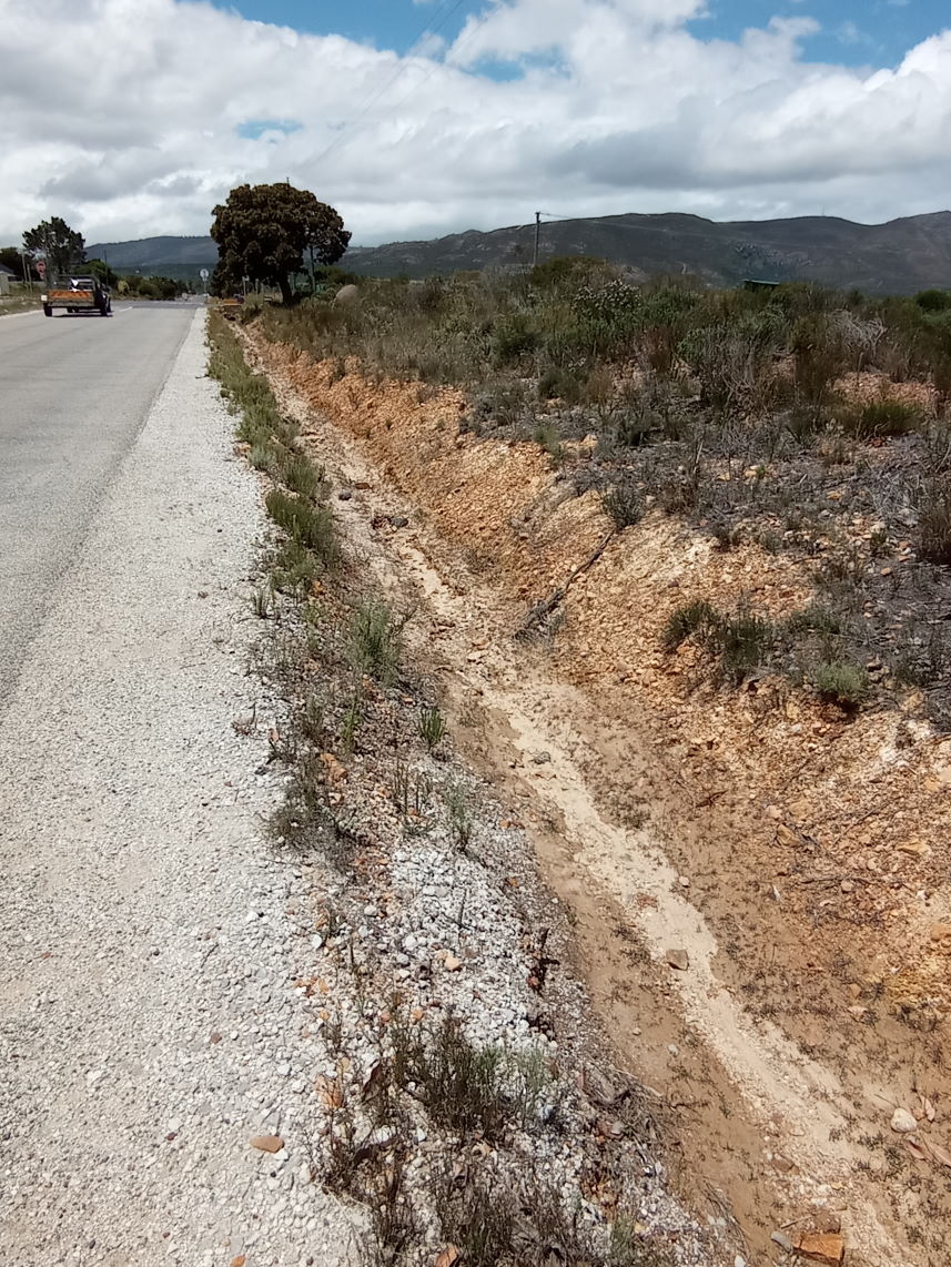
Drainage lines cause potential flooding in built up areas and are often engineered to do so.
In the past, drainage ditches were installed on roads with very little or no environmental inputs. Ditches were dug and cleaned to carry the biggest expected flows, as rapidly as possible away from houses and roads. Many of the plots in Fisherhaven were demarcated in low lying periodically flooded areas. In other places plot have been demarcated into wetlands and across natural drainage lines. Contour farming in the agricultural areas use natural or engineered drainage lines to reduce flooding.
In some cases, this has created wetter areas which can now be managed better as wetter areas. In other cases, collecting the water via the grid of ditches causes erosion problems where they spill out, and dry out other areas, in what is in any case a marginal dry area.
Cities like New York and Stockholm are changing drainage lines to spread storm water over permeable surfaces to reduce flooding. The Netherlands has always been the leader in water and storm control. A large difference can be made in storm water control by thinking in terms of spreading water, using natural drainage lines and promoting the absorption of water into the soil profile, effectively reducing flooding.
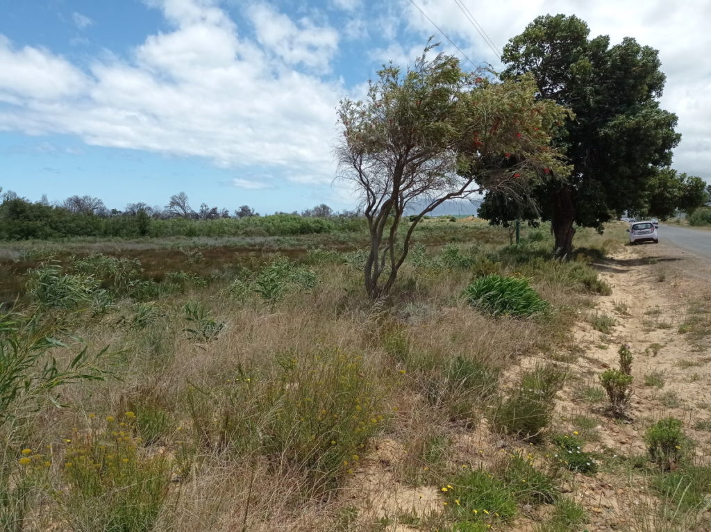
An example is, the storm water ditch which carries water from the R43, all the way down China Marais and finally down Lagoon Road to the estuary. The pipes below the road sections are often inadequate to handle the amount of water and therefore cause flooding damage. Along China Marais is a natural drainage line heading south from China Marais. At present a bund has been created to stop the flow along the natural line, if this is removed the water will spread and gently flow away along the natural line. A pipe across the road will remove more storm water into the natural drainage line. This will probably reduce the water arriving at Lagoon Road by a third.
Another gain is that more water will be flowing down the natural drainage line and improve the vegetation and wetland, which will mean cleaner water finally arriving in the estuary. This is far preferable to dirty polluted water arriving directly into the estuary through a large ditch and large pipe.
A new drainage plan is supposed to be getting drawn up for Fisherhaven. It was supposed to have been completed by early 2021 with some public participation. There has been no public participation. We were informed on the ward committee that we had to wait for the final plan. In the meantime, flooding risk continues with no simple solutions to the problem. Again, a case of incorrect problem identification which therefore will probably have the incorrect solution as is also happening in Hawston, still two years later.
Mike Austin April 2021


Recent Comments